GPS Grid Soil Sampling
DJL Agriculture has taken soil testing to the next level. Driving farming forwards!
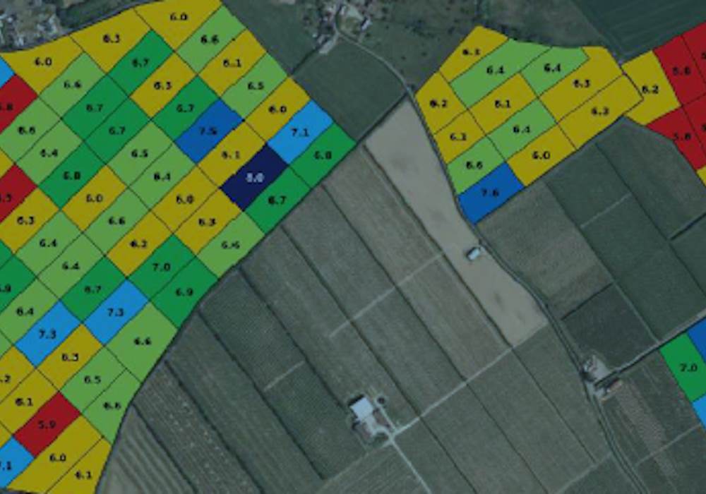
DJL Agriculture’s grid soil sampling software uses real-time grid maps of your land. It identifies the middle of each grid cell, allowing you to collect strategic soil samples. Sample by grid or create your own zones to easily locate each soil sampling site whilst out on the field. The software also allows you to create and manage your soil sample jobs from any compatible device.
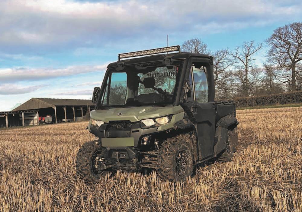
Grid soil sampling software can help you identify the healthiest soil on your farm, so you know exactly where to sow your seeds and spread fertiliser. The track that the vehicle has taken can be re-loaded in subsequent years to ensure soil is taken from the exact same spot when re-sampled.
Nutrient Maps
Colour coded Nutrient Maps are created, clearly highlighting any variation in nutrients. All four elements are portrayed on one sheet of paper, easing quick evaluation. The Nutrient Maps provide enough information to produce variable fertiliser recommendations for four crops in most arable situations
Nutrient maps can be easily imported into Gatekeeper to enable other information such as yield maps to be viewed making data analysis that much easier. Though the standard analysis is P,K,Mg and pH, any element can be analysed upon request, or alternatively a Broad Spectrum analysis package which is becoming more popular.
Fertiliser Recommendations
Fertiliser recommendations are made up by FACTS qualified personnel for each field. The application rates are based on a 25 meter grid and can be used to spread liquid or granular fertiliser. The fertiliser application maps can be created for any controller and are easily transferred to GPS devices for variable-rate spreading.
The Benefits
- Identify and target treat the areas that require fertiliser
- Apply nothing to nutrient rich areas of the field
- What you save on the high areas, you can invest in the low nutrient zones
- Reduce costs and waste
Click Play to see special offer

